
“Immigrants who came to France were not invited to take part in the building of the nation, but rather to become part of the finished product that was the nation.” -Richard Derderian
Click the images below to navigate this project.
https://unsplash.com/photos/nnzkZNYWHaU
https://www.gettyimages.com/detail/photo/the-old-port-at-sunset-marseille-france-royalty-free-image/94433136?adppopup=true
https://commons.wikimedia.org/wiki/File:H%C3%B4tel_de_ville_(3).JPG
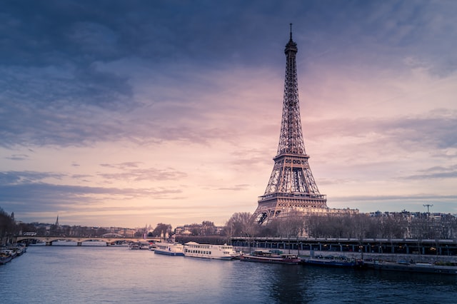
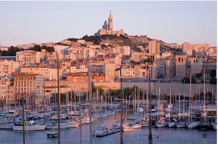
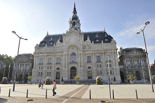
This project provides a new layer of context to the study of Muslims in France, through digital maps of the the three French cities with at least 10% Muslim population (Explore these cities by clicking the above photos). The laws regarding secularism in France, however, provided an immediate barrier to information, with a law from the late nineteenth century banning the collection of any data regarding race or religion. Therefore this project uses Islamic institutions, such as mosques, private Islamic schools, and halal restaurants and markets as a metric of potentially determining levels of assimilation. These maps also include the locations of public transportation stops, both buses and metro, with an assumption that accessibility to public transport can serve as an indicator of assimilation. For comparison, there is a comprehensive map that also depicts the locations of Catholic churches and Jewish synagogues.
Some important questions underlying the project: tackling the assumption that Islam is incompatible with French society, investigating the narrative that French Muslims are confined to the outskirts of cities, and determining whether the 2004 law banning headscarves (and other ostentatious religious symbols) caused an increase in the opening of private Islamic schools.